Places & Spaces on Exhibit at Duke University
| SoIC News
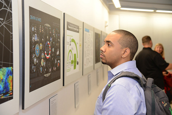
A visitor takes in the Death and Taxes 2009 map at the University of Miami in September 2014
Duke University welcomed the Places & Spaces: Mapping Science exhibit curated by the Cyberinfrastructure for Network Science Center at Indiana University to be on display from January 12 to April 10, 2015. All one hundred maps, examples of best practices in the communication of complex ideas in visual formats, will be on display. These dazzling data visualizations illustrate the complex analysis of extremely large data sets ranging from twitter feeds to scientific citation networks to patent applications and other indices of scientific innovation. The exhibit aims to demonstrate the power of maps to navigate and make sense of physical places and abstract topic spaces. Scientists will be empowered, students and teachers stimulated, and the general public fascinated by this multi-layered, accessible approach to the worlds of modern scientific thought.
This is only the second exhibition venue for the 10th iteration of the exhibit, which debuted in September 2014. The ten fascinating new maps added in 2014 explore the future of science mapping and continue the exhibit's commitment to bringing audiences the most stunning and groundbreaking examples of data visualization from the most brilliant mapmakers of our time.
The maps and additional materials can be found in three separate venues on the Duke campus:The Edge: The Ruppert Commons for Research, Technology, and Collaboration, hosted by Data and Visualization Services; the 3rd floor of Gross Hall, hosted by the Information Initiative at Duke (iiD); and the 2nd floor of Bay 11 of Smith Warehouse, hosted by the Information Science + Information Studies program. Visitors met Indiana University's Victor H. Yngve Professor of Information Science and exhibit curator Katy Börner at an opening reception – (where she gave a keynote talk) - on January 21 at 4:00 p.m. in the Jones Open Lab, located in the Edge.
Angela Zoss, Indiana University Ph.D. candidate in Information Science, was instrumental in bringing the exhibit to the Duke campus. Zoss began work as Duke University's first Data Visualization Coordinator in the summer of 2012. While helping to develop this new position at Duke, she has created library workshops on visualization; hosted a student data visualization contest; consulted with students, researchers, and faculty members on research projects; and helped to introduce visualization concepts and tools into several undergraduate and graduate courses. She co-organizes a weekly talk series on visualization topics and is collaborating within and outside the Duke community to improve instructional and technical support for visualization projects.
Duke hosted several events to celebrate the opening of the exhibit, including a screening of Dr. Börner's award-winning animated film Humanexusand a half-day conference on the challenges of interdisciplinary research. For more information about the Places & Spaces exhibition at Duke, visit http://scimaps.org/duke.html.